


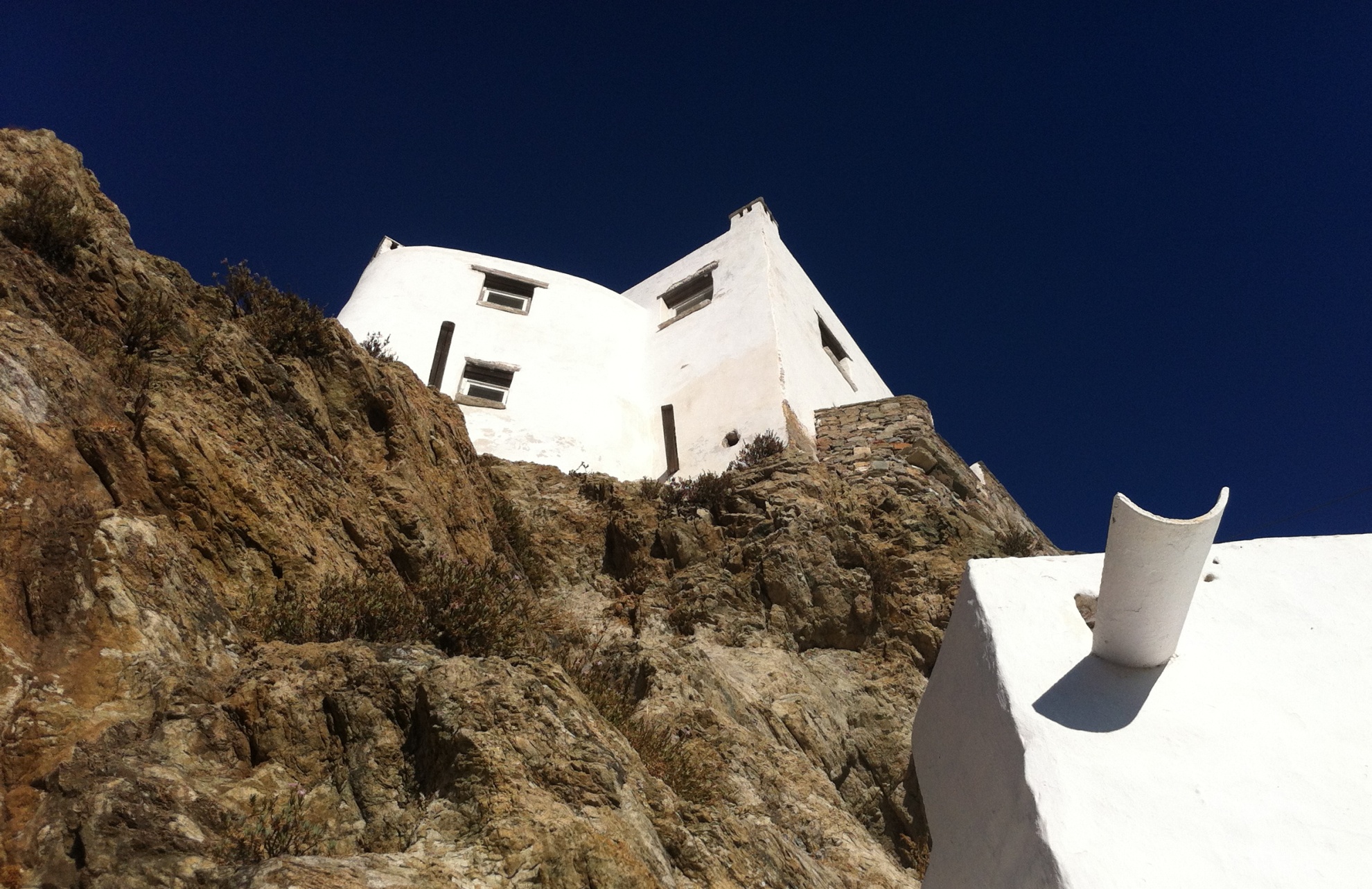
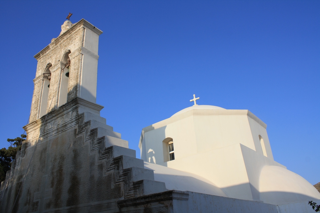
 LIGHTHOUSE
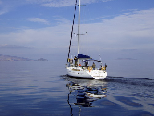
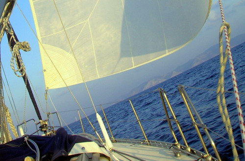
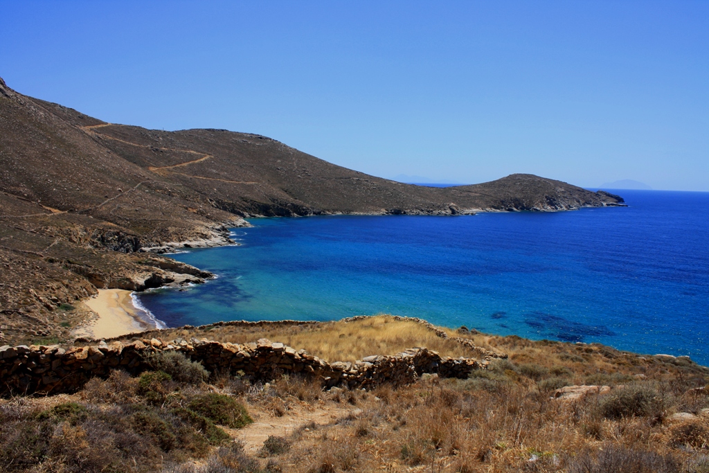
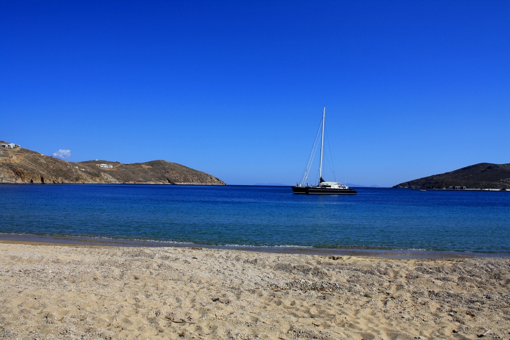
 SAILING
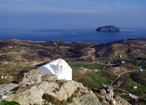
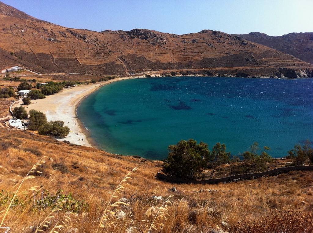
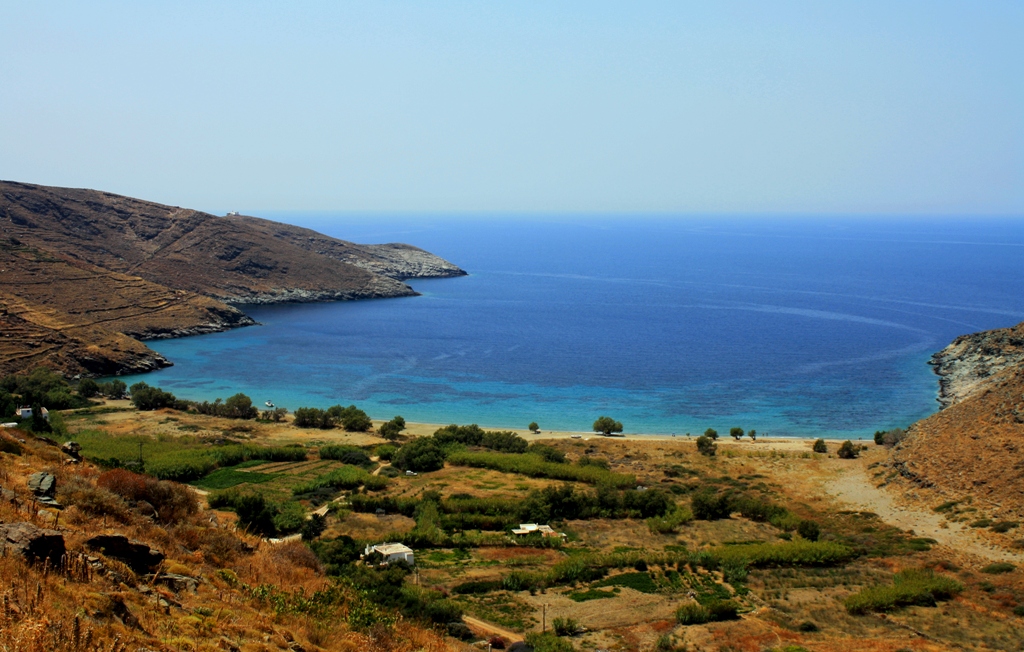
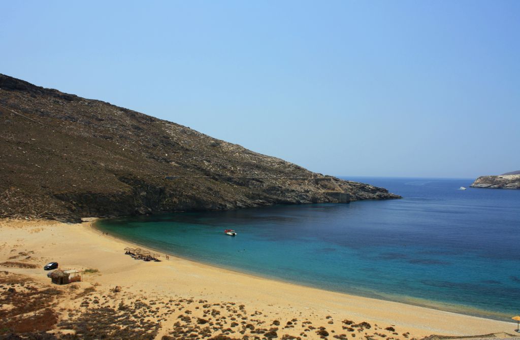
 VIEW
VIEW
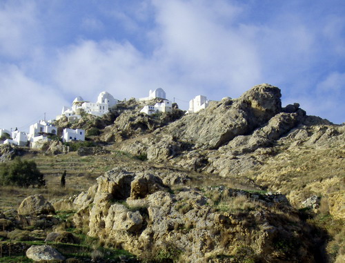
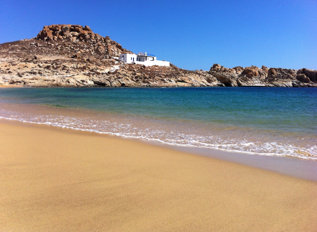
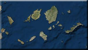
An island of contrasts, Serifos has extensive ore deposits which have created a magnetic field on the island. An ideal destination for visitors seeking a relaxing holiday, the island covers an area of roughly 75 square kilometers (about the same size as Syros) and a total of 10 kilometers of beaches.
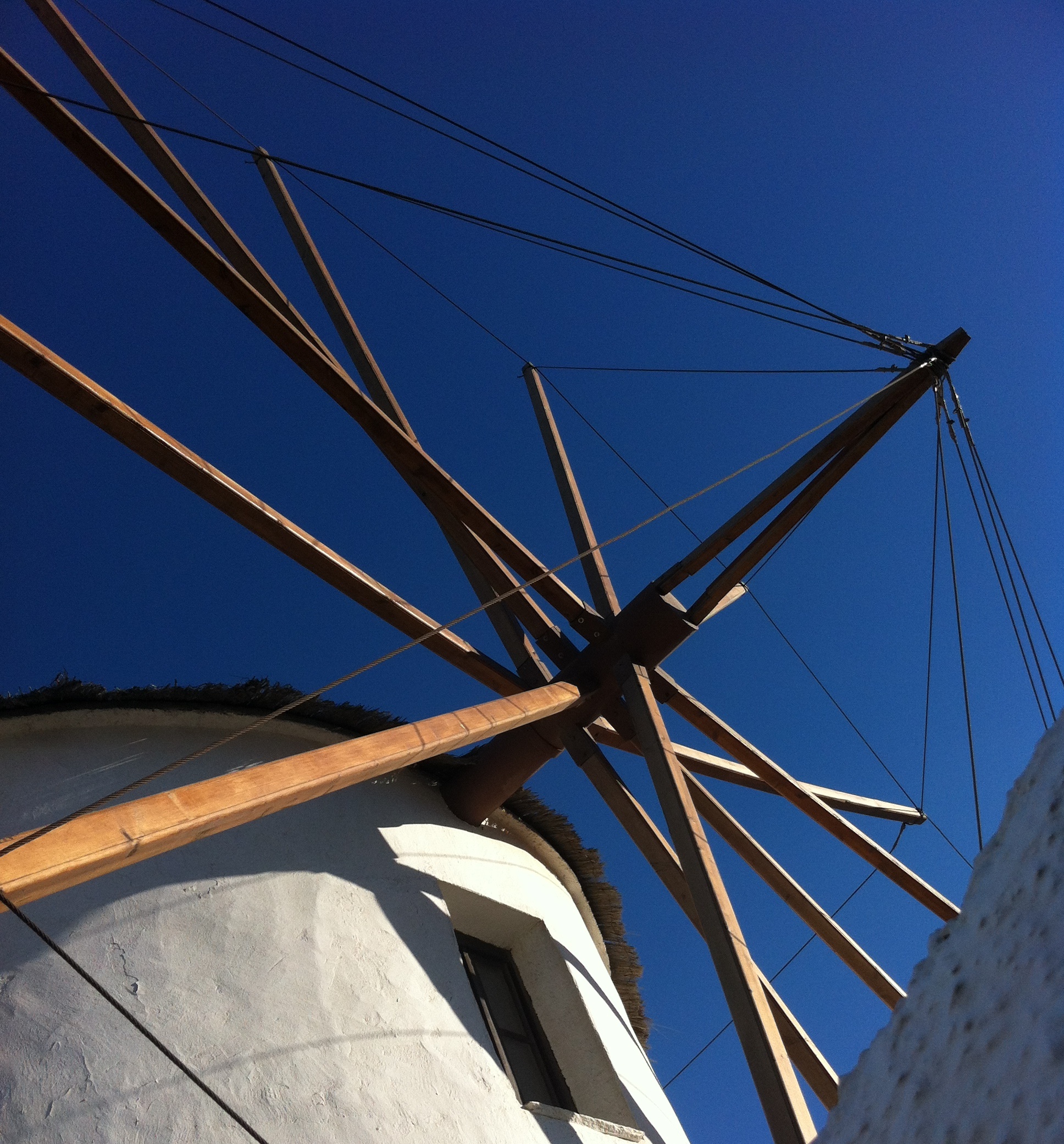
The capital Hora is dotted with windmills linked by stone-paved passages that weave through the settlement. Serifos is like an observation point over the Aegean from all its settlements, with magnificent views to Kithnos to the north, Syros to the northeast, Paros to the east, Sifnos to the southeast, and Milos to the south.
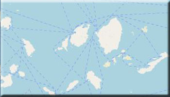
Getting there: Daily ferry connects from Piraeus, roughly 4 hours and 15 minutes or high-speed service, about 2 hours and 15 minutes. Sailings are in the morning (except Fridays, when there is a 4 pm sailing) so visitors can enjoy a full day on the island. The island has a heliport for emergency airlifts, day and night, to the mainland.