


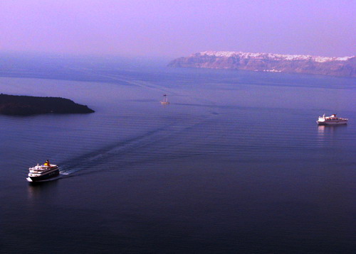

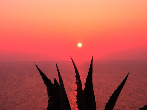
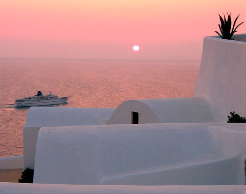
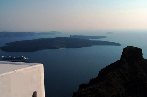
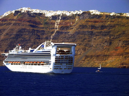
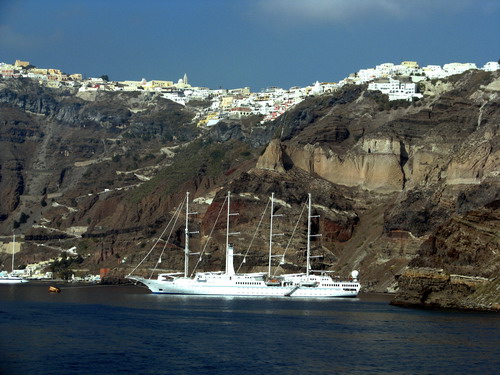


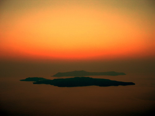
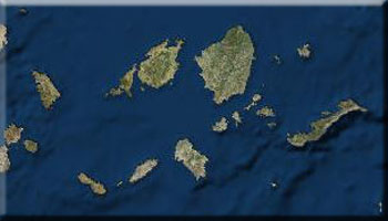

Known in antiquity as Strongili because of its round shape, the island was transformed by a volcanic eruption in the 15th century during which its center sank, forming the caldera. The Phoenicians named the island Kallisti, or most beautiful, and the Dorians called it Thira.
The name Santorini dates from the 12th century and is a relic of Frankish rule when it was known as Santa Irini. Minoan culture flourished on the island until roughly 2000 B.C. when the island's development was halted by a volcanic eruption.
According to historical sources, the eruption darkened the entire Aegean, scattering ash and creating 250-meter high tidal waves that traveled with speeds of 300 kilometers per hour and washed away cities on Crete and Egypt. In some myths, Santorini is identified with the lost continent of Atlantis.
Thira came under Persian rule and later allied itself with Sparta, although in 426 B.C. it passed under the hegemony of Athens. It was subsequently conquered by the Ptolemies and later the Romans.
During the Byzantine era, Thira was a part of the Aegean Sea Province, or Thema, then later became part of the Duchy of Naxos before falling to the Venetians. The latter period is marked by the conversion of large segments of the population to the Catholic faith. In 1537, the island fell to Barbarossa's pirates and in 1579 was taken by the Turks. From 1770 to 1774, it was under Russian rule and in 1832 became a part of the newly formed modern Greek state.