








24°
Tue
25°
Wed
22°
Thu
23°
Kimolos
The silvery charm of slowness and Cycladic hospitality
- 普萨西
- 4–8h from Piraeus
- 帕利奥卡斯特罗 364米
- Tranquility
- Beaches
- Geology
Culture
History & heritage
Kimolos has been inhabited since prehistoric times and gave its name to kimolia (chalk) — the white, absorbent rock (Kimolos earth) mined here since antiquity and exported throughout the Mediterranean, used in cleaning, dyeing and medicine. The island was one of the first outposts of the Cycladic Civilization at the southwestern edge of the archipelago.
In antiquity, the city of Kimolos stood at what is now Ellinika, on the western coast, where the sunken ruins and extensive necropolises can be seen today. The island minted its own coinage and was closely linked with neighboring Milos. Geological changes gradually submerged a large part of the ancient city into the sea.
In medieval times, Kimolos passed, along with the rest of the Cyclades, to the Venetian Duchy of the Aegean. Relentless pirate raids forced the inhabitants to fortify themselves: first at Paliokastro inland, and later at the Kastro of today's Chora, with the wall-houses forming a defensive ring. Ottoman rule followed, with the island maintaining a maritime and agricultural life.
After incorporation into the Greek state in the 19th century, Kimolos's economy relied on fishing, livestock farming and, above all, mineral mining — kimolia (chalk), bentonite and perlite. In recent decades, the island has deliberately kept its quiet, authentic character unchanged, promoting soft tourism as an alternative to the mass development of larger destinations.
Explore
Sights & Trails
Monasteries, castles, ancient towns and hiking routes.
Kastro
The medieval fortified settlement of Chora, divided into Mesa and Exo Kastro. The outer houses form a continuous wall for protection against pirates, while inside, old churches and the Church of Christ from 1592 survive.
Skiadi
The striking geological formation shaped like a mushroom or umbrella, in the island's western part. It was created by the differential erosion of volcanic rocks — white and dark — and is Kimolos's most recognizable symbol.
Paliokastro
The ruins of the medieval capital, atop a hill in the island's interior. The fortified settlement was destroyed by a pirate raid, leading the inhabitants to build today's Chora.
Ellinika
On the western coast, on the isthmus opposite the islet of Agios Andreas, lie the sunken ruins of the ancient city of Kimolos — walls, tombs and building remains lost to the sea through geological changes.
Polyaigos
The largest uninhabited island in the Aegean, facing Kimolos. A protected Natura 2000 area, with wild goats, imposing rocks and turquoise coves — accessible only by boat.
Archaeological Museum
In Chora, it houses geometric, archaic and classical vessels, figurines and finds from Ellinika and the island's necropolises, illuminating Kimolos's long history.
Folklore & Maritime Museum
Housed in Chora, it presents traditional daily life, maritime tradition and the trades of the people of Kimolos through objects, tools and photographs.
Monastery of Panagia Odigitria
A historic church in Chora, one of the island's most important religious monuments, safeguarding old icons and ecclesiastical treasures.
Hot Springs (Prassa)
Near Prassa beach, hot mineral waters bubble up — evidence of the island's volcanic nature, known since antiquity for their therapeutic properties.
Klima & Goupa
The two fishing villages with the "syrmata", colorful boat garages carved into the rock for storing boats — among the most picturesque spots on the Kimolos coastline.
Church of Christ
The historic Church of Christ inside the Kastro of Chora, built in 1592 — one of the oldest and most important monuments on Kimolos.
Church of Agios Ioannis Chrysostomos
The parish church of Chora, dedicated to Saint John Chrysostom, with a remarkable carved wooden iconostasis and old icons.
Local flavour
WELCOME! This is how you will be greeted on the island known as Kimolis, Kimoulo, Kimilos, but also Echinousa or Ophiousa. The Venetians named it Argentiera or Arzenteria, meaning silver land, and they influenced its gastronomic identity more than any other conqueror. A barren and small place, repeatedly burned down throughout its history by raids, it does not boast a vast variety of products. However, it has an interesting cheese-making tradition, unique herbs and spices, aromatic vegetables, and the tastiest and most famous pies of the Cyclades, with the star being the ladénia.
Find what you need
Accommodation, restaurants, activities and local products of the island.
Locations come live from the official Cyclades business directory.
 住宿
住宿
ΜΟΝΑΧΟΦΩΛΙΤΣΕΣ - MONACHOFOLITSES
Kimolos
Οι monacho-folitses, οι οποίες οφείλουν το όνομα τους στο μεγάλο πληθυσμό της φώκιας monachus-monachus που ζει και αναπαράγεται στο νησί,……
 住宿
住宿
ΚΙΜΩΛΙΣ
Kimolos
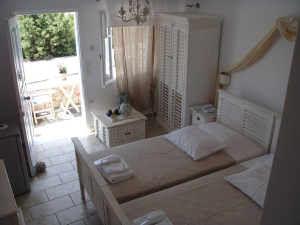
Χτισμένο αμφιθεατρικά, ανάμεσα στο λιμάνι της Κιμώλου και στο χωριό, με θέα το γραφικό όρμο της Ψάθης, το Kimolis ξεχωρίζει……
 住宿
住宿
KIMOLOS HOUSES
Kimolos
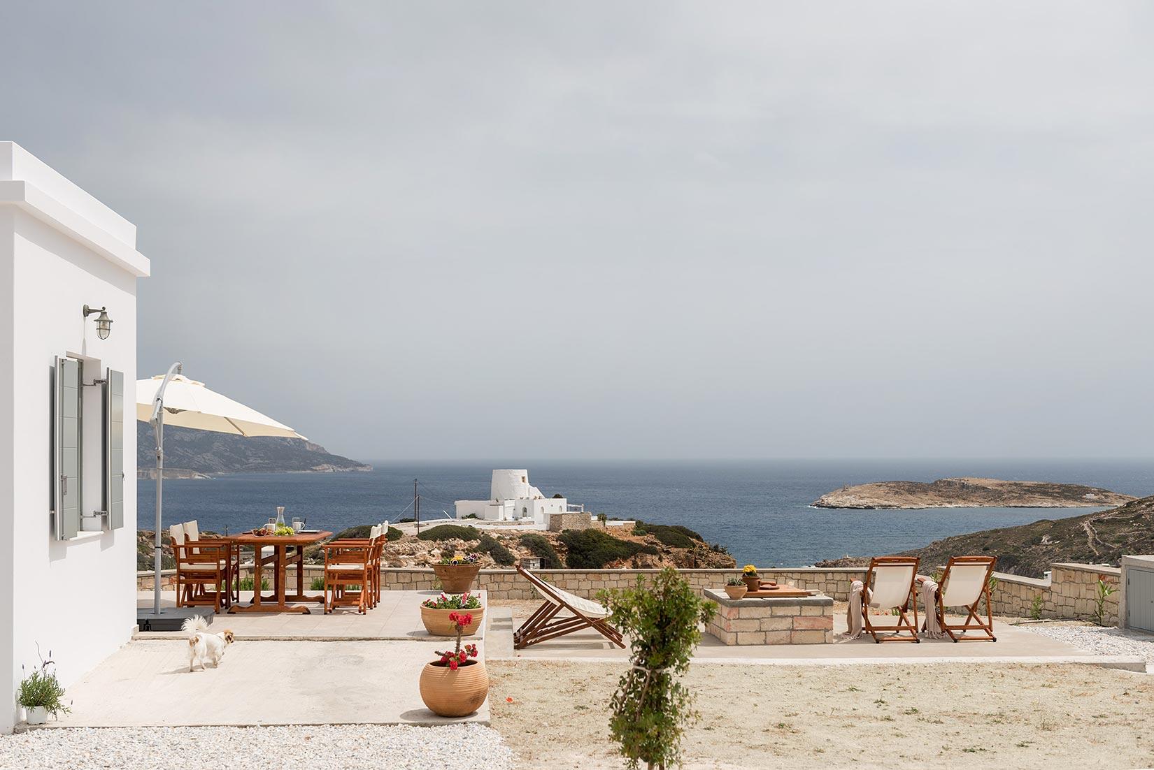
Το Kimolos Houses είναι ένα συγκρότημα ενοικιαζόμενων κατοικιών κυκλαδικής αρχιτεκτονικής, στην είσοδο του γραφικού χωριού της Κιμώλου, που προσφέρει διαμονή……
 住宿
住宿
ΤΟ ΣΠΙΤΙ ΣΤΟ ΚΑΣΤΡΟ
Kimolos
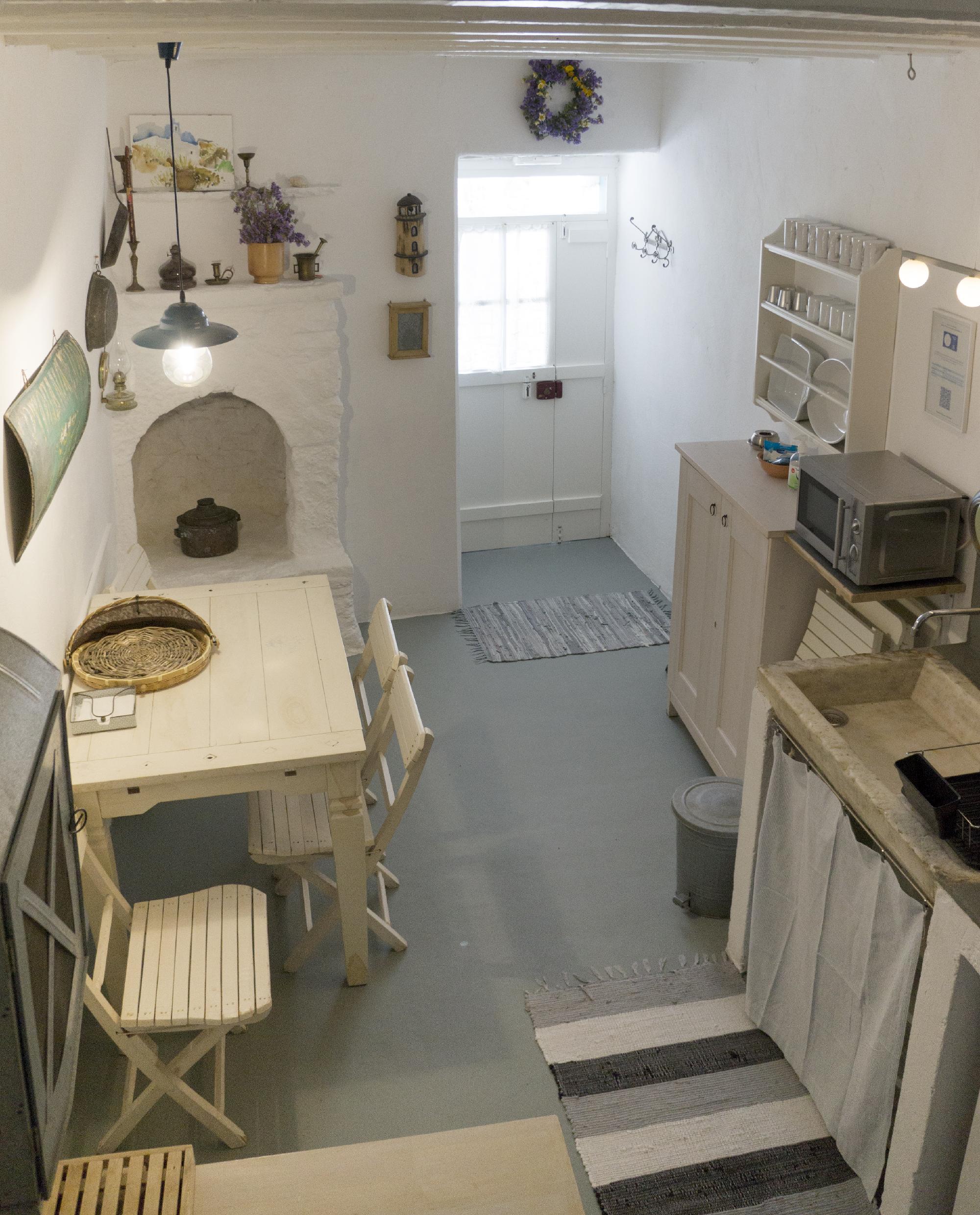
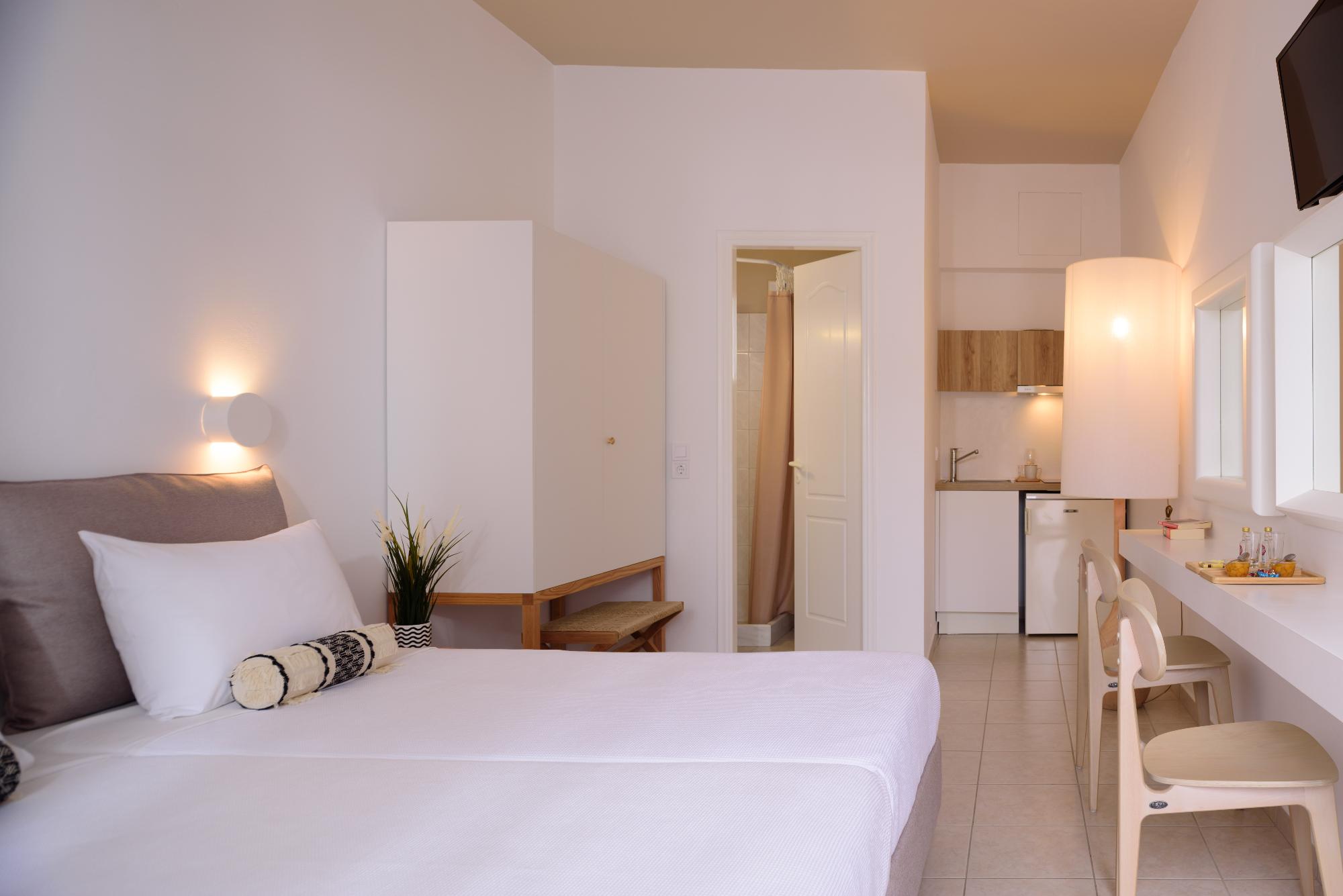
Στο Χωριό, τα λευκά κυκλαδίτικα σπίτια σε περιμετρική διάταξη σχηματίζουν με τους τοίχους τους το Κάστρο (Ιστορικό Διατηρητέο Μνημείο) του 16ου……
 住宿
住宿
FAROS STUDIOS KIMOLOS
Kimolos
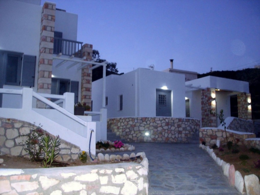
Το συγκρότημα "Faros Studios" βρίσκεται στη Χώρα της Κιμώλου, 880m από την Ψάθη το γραφικό λιμάνι του νησιού. Η απόσταση……
 住宿
住宿
ΜΙΚΡΟ ΠΑΡΙΣΙ
Kimolos
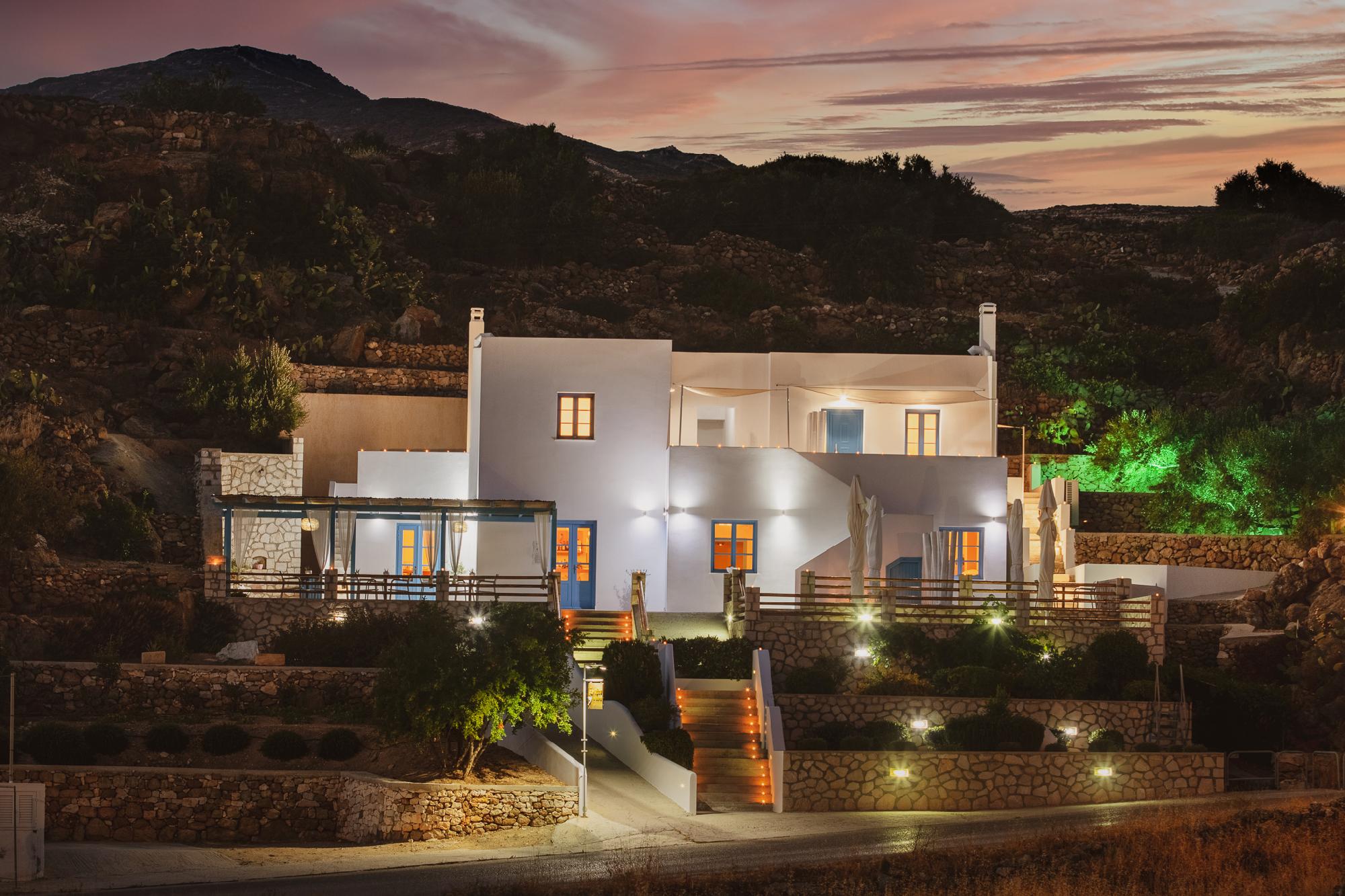
Στα μάτια των κατοίκων της Κιμώλου, αλλά και βαθιά στην καρδιά τους, το νησί απαντιέται με την ονομασία Μικρό Παρίσι.……
 住宿
住宿
ΤΟ ΡΑΝΤΕΒΟΥ ΤΗΣ ΑΛΥΚΗΣ
Kimolos
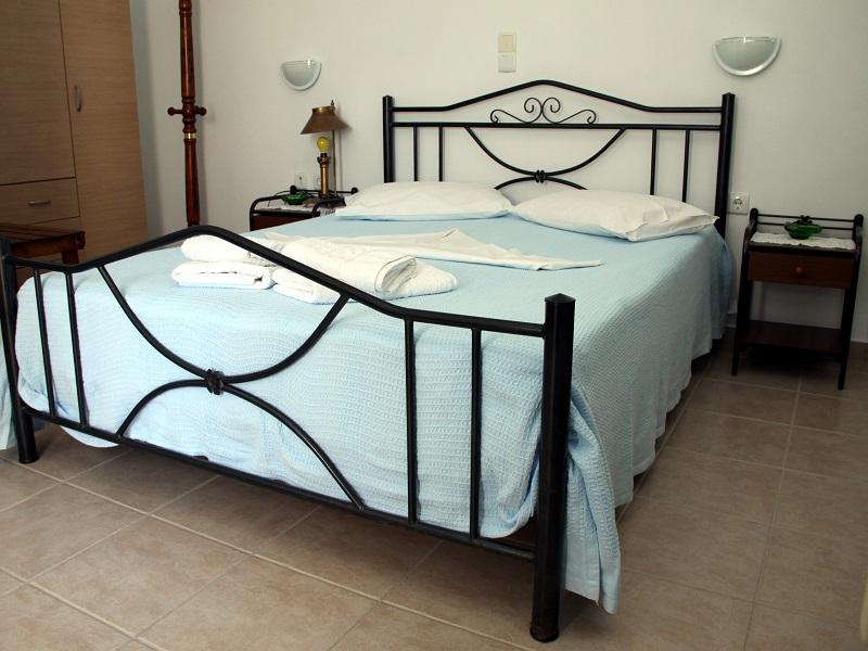
Στο Ραντεβού της Αλυκής "Rooms & Apartments" θα βρείτε στο ισόγειο και στον πρώτο όροφο του συγκροτήματος μας δωμάτια και……
 住宿
住宿
ΚΙΜΩΛΟ ΜΟΥ ΠΑΡΑΔΕΙΣΟ ΜΟΥ
Kimolos
Τα δωμάτια βρίσκονται στη θέση Παναγία η Οδηγήτρια στις αρχές του Χωριού της Κιμώλου και απέχουν μόλις 350 μέτρα από……
 娱乐
娱乐
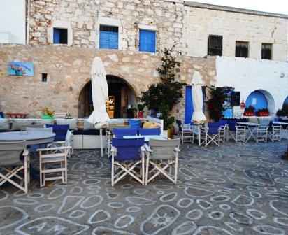
stou fragouli
Kimolos
Βρισκόμαστε στην κεντρική πλατεία του χωριού,σε ένα από τα πιο όμορφα παραδοσιακά κτίρια του νησιού και από νωρίς το πρωί ……
 活动
活动
ΚΙΜΩΛΙΣΤΕΣ
Kimolos
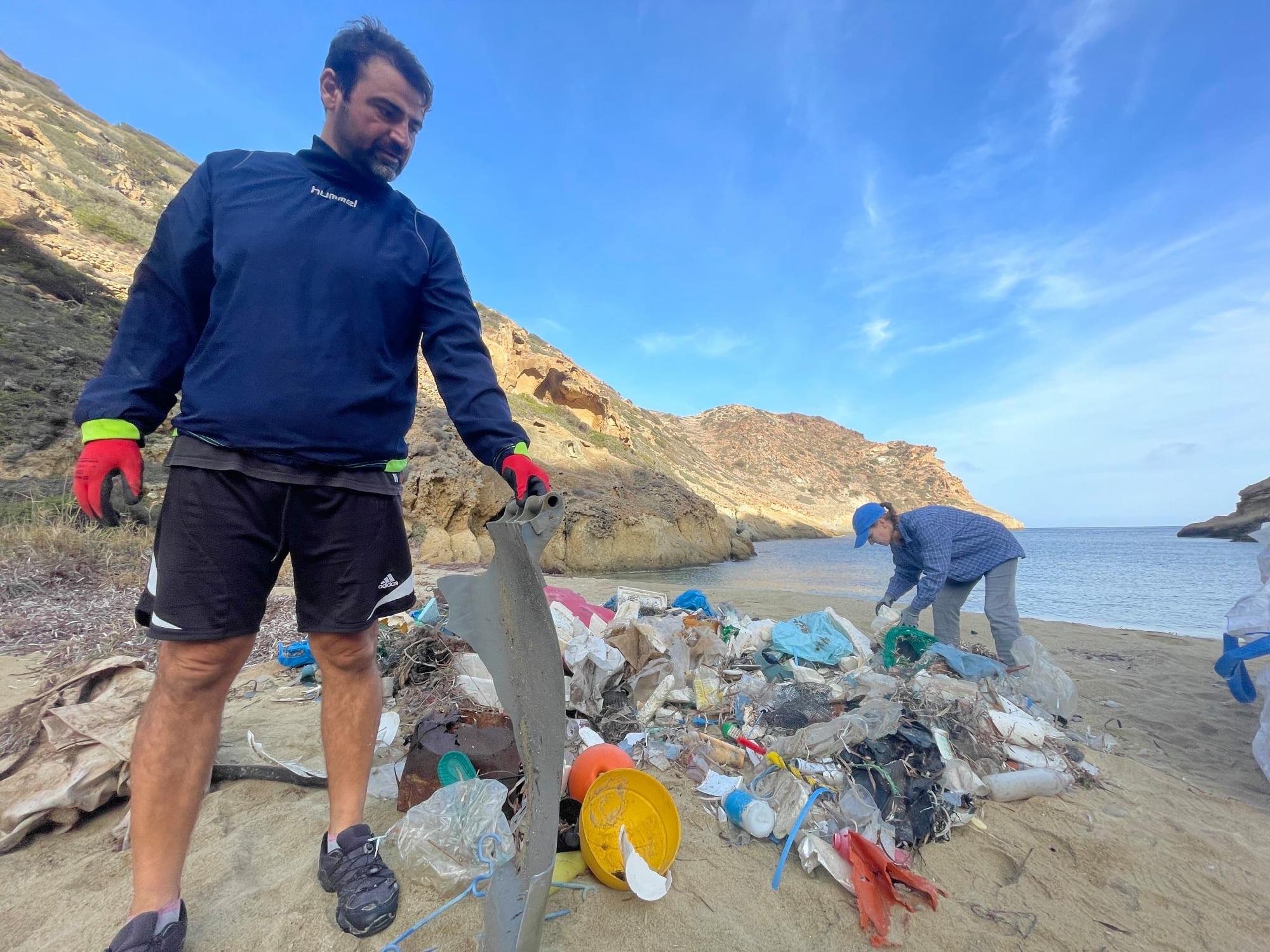
Κιμωλίστες Εθελοντική ομάδα Κιμώλου Με θέληση να προσφέρουμε στο νησί, μια χούφτα άτομα αρχίσαμε το 2011 να ασχολούμαστε με απλές,……
 活动
活动
Humble Hub
Kimolos
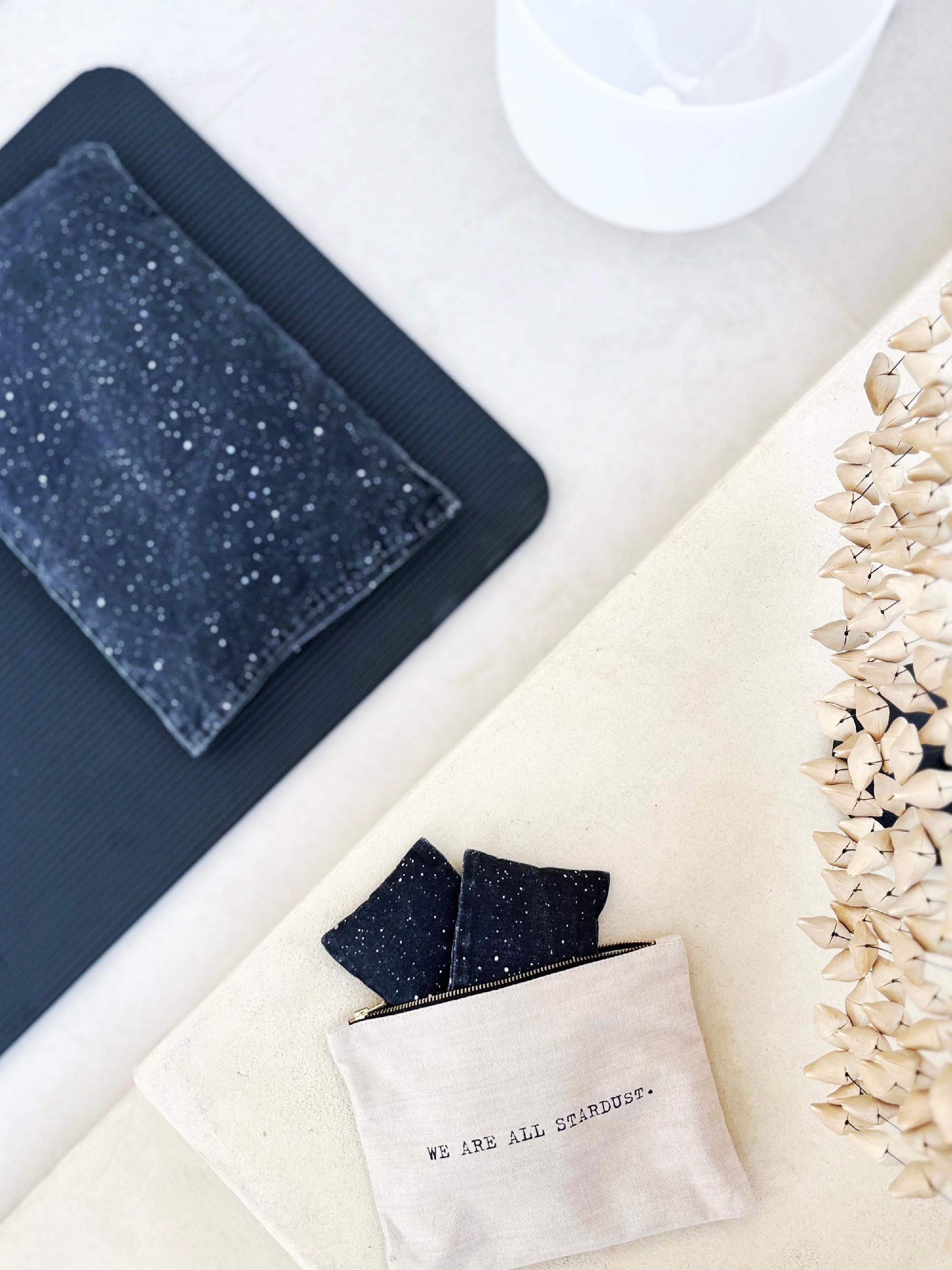
I offer mobile massages on Kimolos. This means that I will come to your accommodation with an E-TukTuk, my massage……
 当地产品
当地产品
ΒΙΒΛΙΟΧΑΡΤΟΠΩΛΕΙΟ ΤΑ ΤΡΙΑ ΓΟΥΡΟΥΝΑΚΙΑ
Kimolos
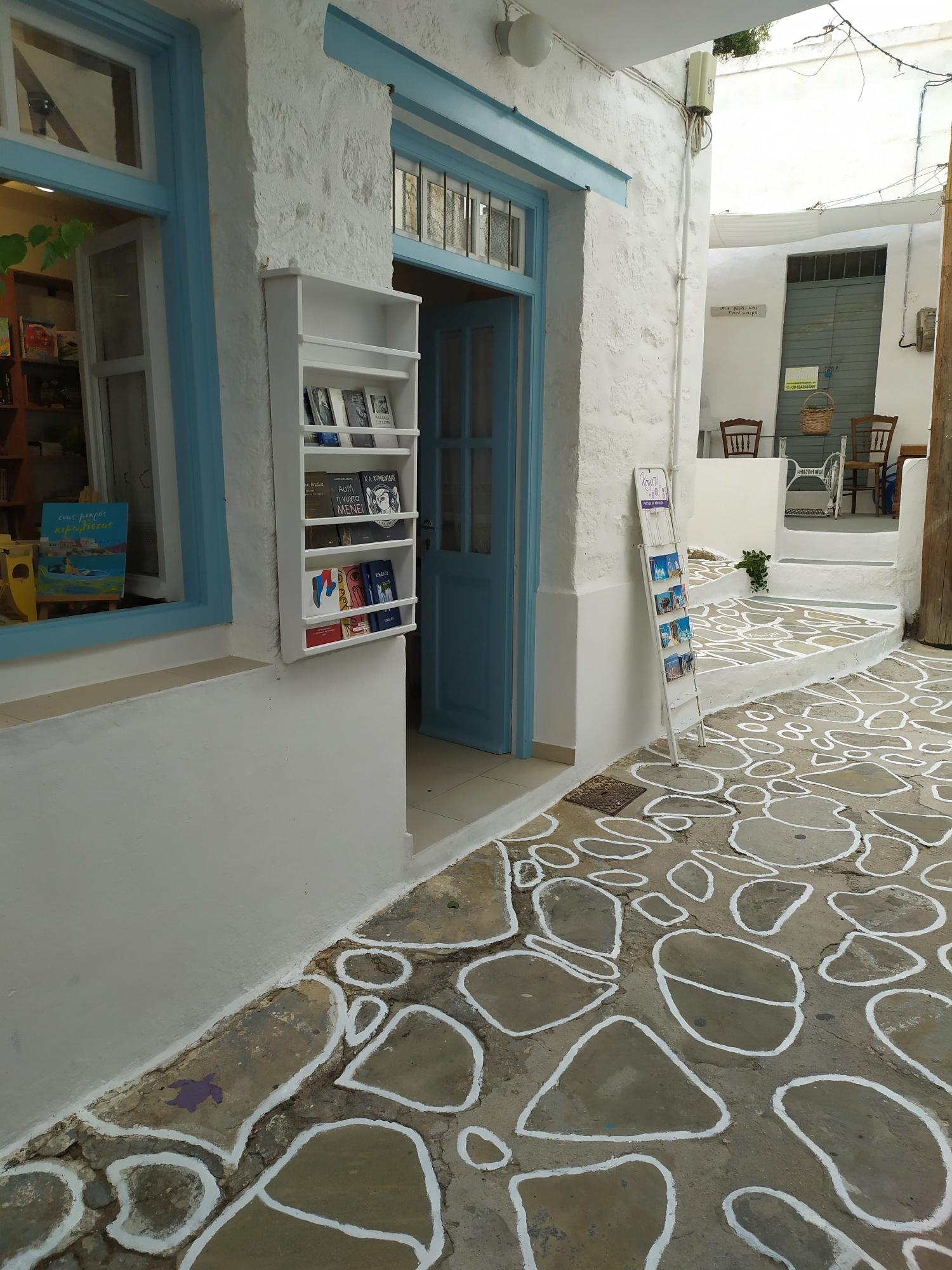
Το βιβλιοπωλείο βρίσκεται στην Παλιά Αγορά του νησιού, πολύ κοντά στον μητροπολιτικό ναό της Παναγιάς της Οδηγήτριας Έχει βραβευτεί ως……
-
Prassa
The island's finest beach, with white sand and dazzling turquoise, shallow waters — the hot mineral springs are also nearby.
-
Bonatsa
A large, sheltered beach with shallow, calm waters and tamarisk trees — ideal for families with children.
-
Aliki
An organized beach next to the seaside settlement of the same name, with taverns and easy access.
-
Kalamitsi
A quiet beach with white sand and shallow clear waters, near Bonatsa and Aliki.
-
Dekas
An isolated beach in the south, with wild scenery and crystal-clear waters, far from the crowds.
-
Soufi
A small, quiet beach on the island's southern side, for those seeking absolute serenity.
-
Mavrospilia
A western beach with views towards Polyaigos and stunning sunsets, set against a dark volcanic landscape.
-
Ellinika
A beach on the isthmus next to the islet of Agios Andreas, where the sunken ruins of the ancient city can be seen.
-
Fykiada
An unspoiled beach with golden sand, on the sandy spit facing Polyaigos — accessible by trail or boat.
-
Klima
A picturesque fishing village with the characteristic "syrmata" — colorful boat garages carved into the rock, near Psathi.
-
Rema
A small, quiet cove with pebbles and clear waters, near the port of Psathi.
-
Agios Georgios
A remote beach on the island's western tip, with wild beauty and very few visitors.
-
Livadaki
A small, quiet sandy beach with fine sand and shallow, clear waters, in the island's southern part.
-
Monastiria
A secluded beach with golden sand and wild scenery, far from the roads and the crowds.
-
Athinios
A sheltered cove with calm, clear waters, ideal for a quiet swim and for fishing.
-
Pano Mersini
A picturesque sandy beach in a sheltered bay, with a few boats and calm waters.
-
Kato Mersini
A small, quiet beach next to Pano Mersini, with sand, pebbles and clear waters.
-
Almoura
A wild, isolated pebble beach with deep, crystal-clear waters, far from the crowds.
-
Panagias t'Avlaki
A secluded sandy beach near Ellinika, with shallow turquoise waters and absolute serenity.
-
Asprogkrema
A beach beneath dazzling white volcanic cliffs, with deep blue-green waters and a unique landscape.
Access & transport
How to get there
Kimolos has no airport. The port of Psathi is connected by ferry to Piraeus (about 4–8 hours, depending on the route) and to the other islands on the line, while a small daily ferry/boat connects it with neighboring Milos — the easiest way to get there.
Getting around the island
The island is small: a local bus connects Psathi with Chora and the main southern beaches, while for the more remote beaches, Skiadi and the dirt roads, renting a scooter or car is the most convenient option. Many wild spots and Polyaigos are reached by boat.
Ferry tickets
Useful phone numbers
Nearby islands
Combine Kimolos with the neighbouring Cyclades.
Cyclades aiTripPlanner
Ready for Kimolos?
Plan your own trip to Kimolos, day by day, tailored to you — with the help of the aiTripPlanner.