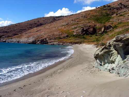
Ayios Petros: organized sand beach.
Liopesi: sand beach near Gavrio.
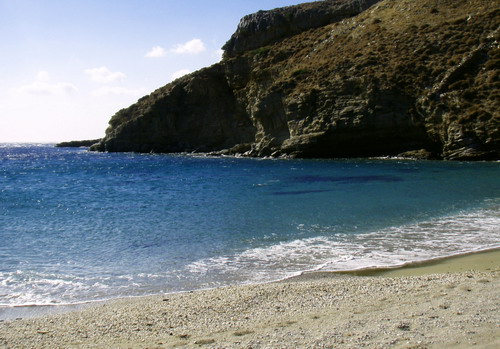
Psili Ammos: organized sand beach near Ayios Petros.
Ayios Kyprianos: pebble beach at Kypri.
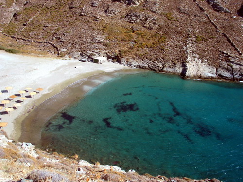
Lykeio: organized sand beach at Batsi.
Kolona: sand beach at Batsi.
Stivari: shingle beach at Stivari.
Anerousa: organized sand beach at Aprovatou.
Ayia Marina: pebble beach at Aprovatou.
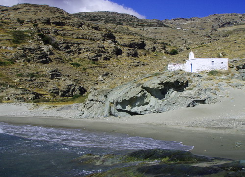
Ayia Eleousa: pebble beach at Palaiopolis.
Ateni: sand beach at Katakoilo.
Vori: sand beach near Arni.
Lefka: sand beach near Fellos.
Selki: sand beach at Makrotantalo.
Kaminaki: sand beach near Makrotantalo.
Vlyhada: pebble beach near Makrotantalo.
Vitali: sand beach near Vitali.
Mikri Peza: sand beach near Makrotantalo.
Megali Peza: sand beach at Makrotantalo.
Gides: sand beach at Gides.
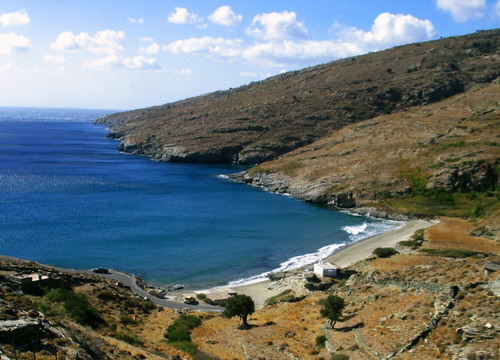
Tis Grias to Pidima, at Korthi.
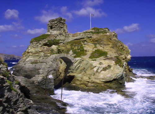
Mylos at Ormos.
Small beaches at Vintzi, Ayia Ekaterini, Bouro, and Melissa featuring sea caves.
Syneti, featuring sea stalactites.
Ai Yianni, beach at Kremmydes; accessible only by boat.
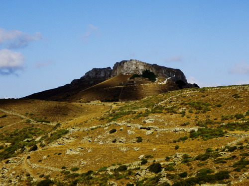
Plaka, on the island's west coast.
Steno at Steno.
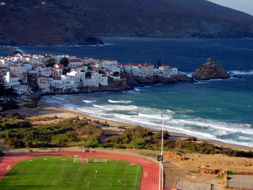
Neiborio and Paraporti, the two beaches nearest Andros Town (Hora), can be reached on foot.
Yialia and Piso Yialia off the road to Stenies.
Ahla at the mouth of the Ahla River.
Halkolimionas on the island's west coast.